I’m not a member of the Cartographer’s Guild or anything and probably never will be. But I do think that maps in general are some of the coolest things that mankind has put on paper. As far as I can tell, there are two chief things which make maps exciting.
First, maps take a really big thing – a swath of land – and reduce it to a really small thing – a drawing. We therefore look at maps with wonder because we know that all the little lines, drawn in such brevity upon the paper, are in fact describing immense realities – precipitous cliffs, plummeting waterfalls, foaming coastlines, expansive marshes, roads teeming with activity, cities full of living and breathing people. In one sense, it’s just a piece of paper. And yet as if “within” the paper, between the lines, there’s so much there!
Second, every map has, by definition, a kind of principle of “enterability.” When you see a map, you understand it as something which could be entered into – even if only in the imagination. It isn’t just a scene or object to be contemplated, but a place to be walked through. When maps present themselves to us, they say, come, enter!
My favorite are trail maps. Looking at the route, you can almost take a sample hike: climbing up the canyon, past Potter Point in the east, over the pass and beside alpine ponds, before descending back into the trees along Rafferty Creek….
Some of the best maps are of imagined places, like Ernest Shepard’s original Winnie-the-Pooh atlas. Personally, I would like to inspect the site labelled “Where the Woozle Wasn’t.”
And of course, there are the classic maps of the treasure-seeking variety.
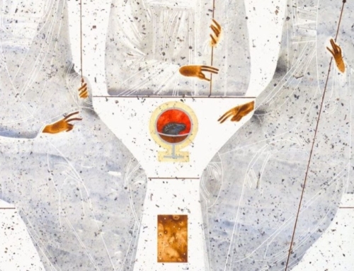
Some cartographers have even tried to chart the heavenly city. Such maps are of course ridiculous, since heaven can’t be described according to our dimensions of space. But they make me wonder. Could one make a map of heaven that wouldn’t be absurd? I think you could. It would look something like this:
This image is like the maps of old, where the coastlines are only somewhat accurate. And yet, also like the maps of old, it really does bear a resemblance to what it signifies.
And just as one marvels at how, within (so to speak) the pen and ink of a map, there’s so much there (people, trees, storefronts, streams) – so too in this icon one senses that there is so much there between the lines. It is just an arrangement of colors, shapes, and pen strokes, and yet one senses a deep “topography”there. Within those lines, as it were, there are the deepest pools, the highest peaks, the coldest glaciers, the darkest forests.
And like maps, these images of God do not just say, consider, look. Rather, they say, enter, come! Do not merely observe this land – enter in. The saints in heaven do not only contemplate God – they have been made sharers in his nature. They walk the paths of God’s heart.
When God’s heart was opened on the cross, a new land opened up to us, and we have begun to fearfully scout it out. And just as the men of old sought to chart the waters and land upon which they moved, so too we in the age of Christ have begun to map out this new land. Our maps are still quite rudimentary. But that’s OK. They always will be. For this new land is vaster than any we have ever known.
✠
Image: Abraham Ortelius, Theatrum Orbis Terrarum


